– Political geography of Farouj County:
Farouj County is located in the east of North Khorasan Province and borders Bajgiran City from the north, Esfarayen County from the south, Shirvan County from the west, and Quchan in Razavi Khorasan Province from the east. This county, with an area of about 1,736 square kilometers, has 2 cities, 2 districts, 5 rural districts, and 77 villages. The population of Farouj County in 2011 was estimated at 52,364 people.
-Natural geography of Farouj County:
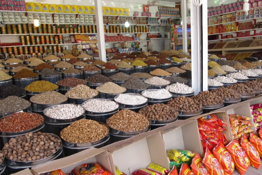
Farouj County is located in the Atrak River Valley between the Kopeh Dagh mountain range in the north and the Aladagh mountain range in the south. The climate of this region is moderate in summer and very cold in winter. Due to the presence of sufficient water resources, including the Atrak River, agriculture is thriving in the region and Farouj County has become one of the important centers for the production of oilseeds and various nuts. Mount Shah Jahan, with an altitude of 3051 meters, is located in the south of Farouj County as the highest peak in North Khorasan.
-Historical background of Farouj:
In general, the environmental and climatic conditions of Farouj County are very suitable for the establishment of residential centers, and since there is no evidence of major morphological and hydrological changes in the Atrak River Valley, this situation probably existed in ancient times. The abundant distribution of ancient hills, sites, and buildings in different parts of this county from the prehistoric to the Islamic period is evidence of this claim. Yam Hill, as one of the oldest and most extensive ancient settlements in North Khorasan, indicates the prosperity of the region in prehistoric times. The presence of residential centers and military-commercial castles of the Parthian and Sasanian periods in this county, such as the vast ruined city area, indicates the active presence of Parthian and Sasanian tribes in this county.

Yam Hill
Registration number in the National Monuments List: 16586
Location: Farouj County, Yam Village
Yam Hill is the largest identified site in the Upper Atrak River Valley in North Khorasan, which contains traces of several millennia of settlement, from the prehistoric period to the Islamic period. Scientific excavations by the archaeological team of the University of Turin, Italy, in this hill show the great similarity of the cultures of this region with the advanced cultures of the Copper, Stone, and Bronze Ages in Central Asia.
The ruined city area
Registration number in the National Monuments List: 16588
Location: Farouj County, 2 km west of Titkanlu
The ruined city is the remains of a Sassanid-era fortress surrounded by a thick wall with towers at regular intervals, which today are piles of earth. The remains of this adobe fortress cover an area of about 14 hectares, and there were residential and military facilities in the central parts and northwestern corner.

Aliabad Historical Castle
Registration number in the National Monuments List: 12083
Location: Farouj County, Yam Village
Ali Abad Castle is one of the castles that was built during the Safavid period to resist the invading tribes and, due to the insecurity of the region, it continued to be used until the end of the Qajar period. This castle has a rectangular plan and is fortified with a tower, ramparts and a large moat. This castle has two gates in the middle of the northern and southern walls, four towers at the corners and two towers in the middle of the eastern and western walls.

Tomb of Baba and Bibi
Registration number in the National Monuments List: 5945
Location: Farouj County, Ostad Village
The shrine of Baba and Bibi is a historical monument from the Timurid period in Farouj city. This building consists of two rooms on the north and south sides and a large porch with an arched cover on the east side. Inside each room there is a tomb on which there is a wooden chest carved with plant motifs and inscriptions in the Thuluth script. The ceiling of the room where Baba Hussein’s tomb is located is covered with a dome of Chinese clay and sweat, and the outer shell of the dome is covered with galvanized sheet metal.

Old bathhouse of Ostad village
Location: Farouj County, Ostad Village
An example of a Qajar-Pahlavi period bathhouse in Farouj city, built underground with stone and mortar. The general plan of the bathhouse consists of an entrance corridor, an octagonal-planned spire, a hothouse, and water tanks. The bathhouse roof is covered with a dome, and an opening is built in the middle of the domes to allow light to enter the bathhouse.

Master’s Mosque
Registration number in the National Monuments List: 18739
Location: Farouj County, Ostad Village
The Jame’e Ostad Mosque is a religious-historical monument in Farouj city, the exact date of its construction is unknown due to extensive repairs. This mosque is a simple nightstand mosque and its plan consists of a rectangle with large square columns 2 meters in diameter in the middle. These columns are connected at the top by shallow pedimented arches that transfer the pressure from the roof to the foundations.